


Traffic Safety Vision AI Video Application
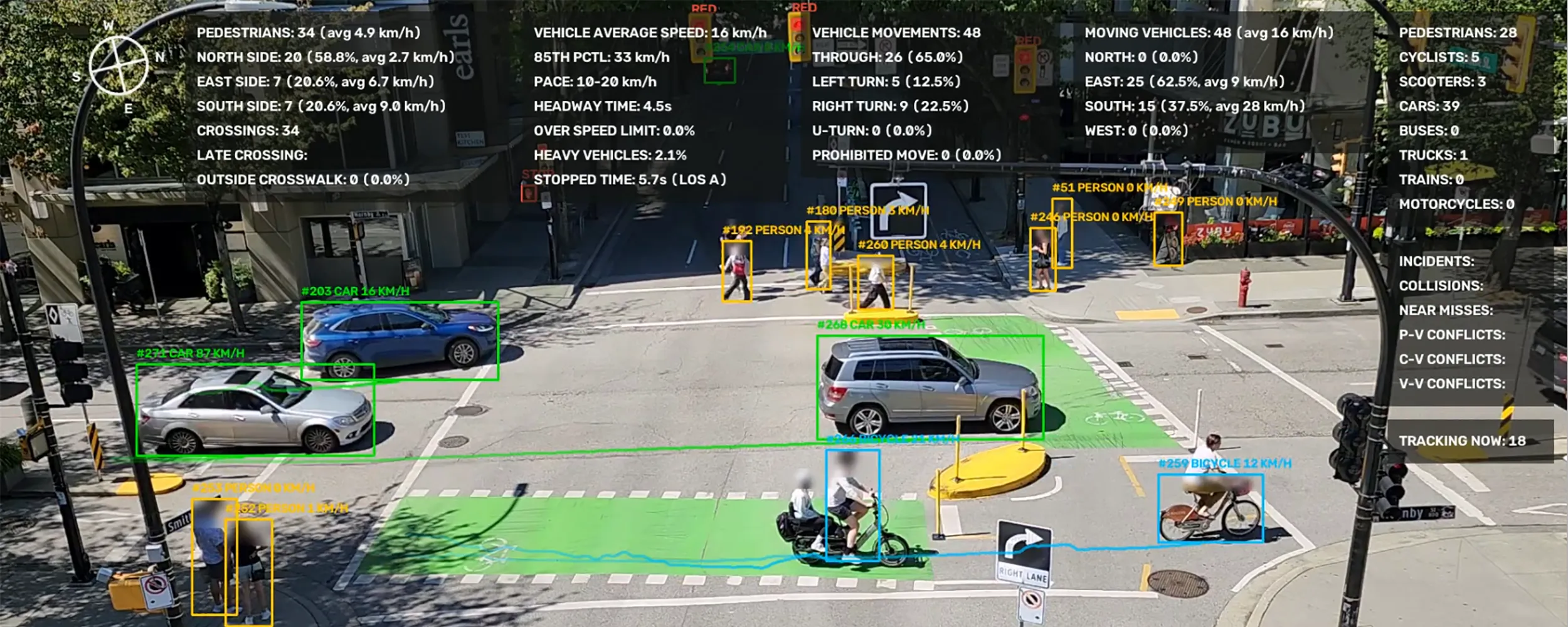
The Traffic Safety Vision application uses advanced AI and computer vision to transform existing traffic intersection cameras into a powerful traffic safety, monitoring, and analytics system. It analyzes vehicles, pedestrians, cyclists, scooters, traffic signals, and roadway activity in real time to provide municipalities with detailed data about how their intersections are being used.
AI powered application that provides the following:
– Monitors traffic intersections to collect data analytics for municipal planning.
– Detects and reports near miss collisions for accident prevention.
– Provides real time accident detection and reporting to first responders.
A pedestrian is killed by a vehicle approximately every two minutes worldwide. Many of these tragedies may be preventable by identifying hazardous traffic patterns using advanced AI analytics before a serious collision occurs. Pedestrians account for roughly 23% of the global traffic fatalities. Approximately 274,000 pedestrians die per year from traffic accidents. Pedestrians face a significantly higher risk of death per kilometer travelled compared to people inside of vehicles.
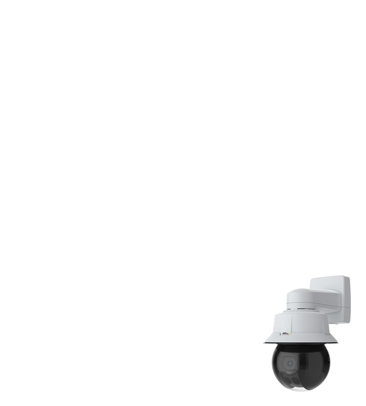
This application uses existing traffic video cameras already installed at intersections. Municipalities can add AI powered traffic analysis and safety monitoring without new camera infrastructure or radar detectors.
By identifying conflicts and near miss events along with repeated traffic patterns, this application can help municipalities better understand where safety improvements may be needed before a serious collision occurs.
Some of the application features include:
Real-time traffic intersection monitoring
AI analysis of vehicles, pedestrians, cyclists, and scooters
Compatible with existing traffic camera infrastructure
Calibration tool that adapts to any intersection layout
Vehicle movement classification by approach direction
Prohibited/illegal turn detection, flagged live the instant it happens
Optical speed estimation using AI and computer vision
85th percentile speed and posted-speed-limit compliance tracking
Heavy vehicle percentage tracking
Vehicle headway (following-gap) timing
Stopped-time and Level of Service (LOS) grading
Vehicle motion trail visualization
Curb-to-curb pedestrian crossing detection, by crosswalk and direction
Outside-crosswalk crossing detection
Late-crossing tracking relative to the WALK signal phase
Pedestrian average crossing speed
Dedicated bike-lane transit detection and counting
Distinguishes bicycles from scooters as separate tracked classes
Live vehicle signal state classification (red/yellow/green)
Live pedestrian signal state classification (walk/don’t walk)
Near-miss and collision detection for proactive safety analysis
Real-time incident detection and reporting
Conflict tracking by type: pedestrian-vehicle, cyclist-vehicle, vehicle-vehicle
Automatic reports on a daily, weekly, or monthly schedule
Traffic data analytics and reporting
Data collection to support municipal planning and traffic engineering
Exportable PDF reports plus raw CSV/JSON data
Busiest approach direction and busiest crosswalk direction summaries
Volume-by-approach-direction breakdowns
Face blur option
License plate blur option
AI classifier retraining review for improved accuracy over time